Too early for BC Wildfire Service to worry about lower snowpack levels

Apr 11, 2019 | 5:02 PM

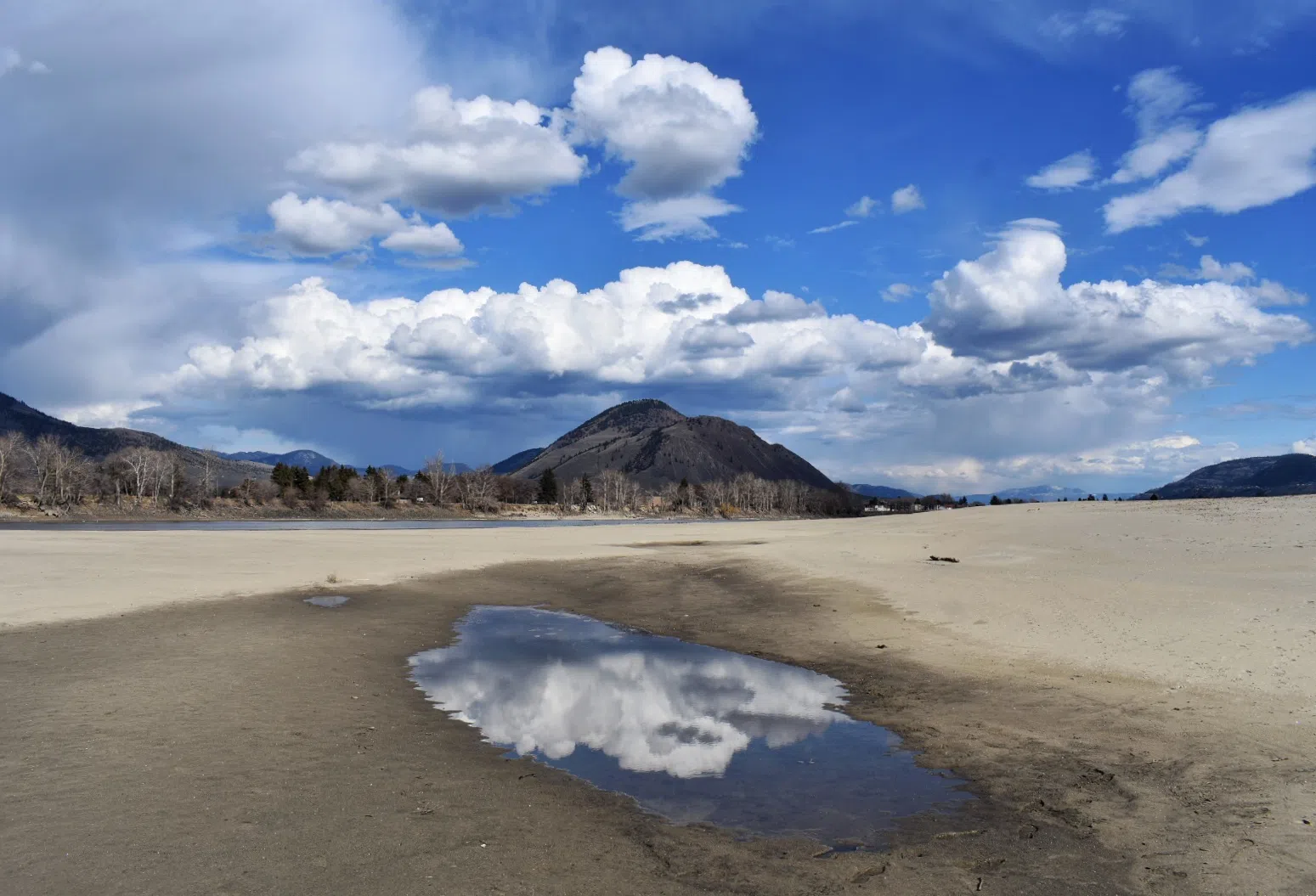
KAMLOOPS — The B.C River Forecast Centre has released their snowpack report heading into spring- showing a 21 per cent below normal average across the province.

Lower snowpack levels and potentially warmer temperatures has the spring melt jumping forward a few weeks.

However, the BC Wildfire Service says its too early to worry that the reduced melt will bring an aggressive fire season.

River Forecast Centre Hydrologist, Jonathon Boyd says all around British Columbia, snowpack amounts are below their usual levels, with the BC average at 79 per cent of normal. 

“The North Thompson was actually quite high in early January so although it hasn’t received much snow, it’s still closer to normal at 89 per cent of normal,” he explains. “Whereas the South Thompson is at 75 per cent of normal.”

Boyd says the last time snowpack levels were low was in 2015, so it’s not entirely unusual and doesn’t mean a drought is on the way. 

“Even a high snowpack doesn’t limit us from the possibility of drought years,” Boyd says. “But having a low snowpack makes us a lot more vulnerable to the potential effects of another fire year, or another low flow year.”

However, BC Wildfire Service Fire Information Officer Ryan Turcot says a lower snowpack doesn’t directly translate to another raging fire season. 

“What it does tell us though is when snowpack levels are a little bit lower, we could see an earlier start to fire season. We could see fires start to crop up sooner because of course as the snowpack depletes, that’s more land area where a wildfire can potentially start.”

Lower spring melt levels don’t bring the Wildfire Service early worries, however, there is some element of risk with delicate, dry conditions. 

“Conditions are starting to get to the point where it is possible for wildfires to start.” Turcot explains, “At this time of year, the majority of wildfires are human-caused, and therefore, preventable. So please do your part.”

On the other hand, flooding potential is looking better, as higher temperature in the region will bring a two-week early start to the spring melt. 

“That’s a positive with respect to effects of flooding,” Boyd says. “If it melts earlier, it probably won’t rise quite as fast as if it was like last year.”